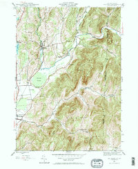
1944 Map of Shushan
USGS Topo · Published 1964About this map
The Batten Kill snakes through the valley at the New York and Vermont border, anchoring a landscape defined by small mid-century agricultural settlements and the Delaware and Hudson railroad. This 1944 survey captures the distinct rural organization of Washington County before modern consolidation, where local life centered on nodes like Shushan, Eagleville, and the uniquely named Pumpkin Hook. The placement of School No. 6, School No. 7, and School No. 11 across the townships illustrates the distribution of the population prior to the decline of the one-room schoolhouse system.
Find a feature on this map
45 named features on this map. Tap any name to fly to it.
Don’t see what you’re looking for? This feature index may not catch every label — zoom into the map to look around manually.
Map Details
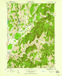
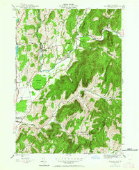
Editions of this 1944 Shushan Map
3 editions found
Other maps of this area

1894 · Equinox
USGS Topo · 1:62,500

1895 · Cambridge
USGS Topo · 1:62,500

1896 · Equinox
USGS Topo · 1:62,500

1897 · Hoosick
USGS Topo · 1:62,500

1898 · Cambridge
USGS Topo · 1:62,500

1898 · Bennington
USGS Topo · 1:62,500

1900 · Taconic
USGS Topo · 1:125,000

1900 · Equinox
USGS Topo · 1:62,500

1901 · Cambridge
USGS Topo · 1:62,500

1903 · Mettawee
USGS Topo · 1:125,000