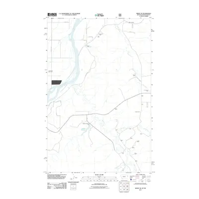
2011 Map of Sidney NE
USGS Topo · Published 2011About this map
The Yellowstone River snakes through this borderland between Montana and North Dakota, defining a landscape shaped by water management and ranching. The eastern banks are marked by a network of drainage systems including Cheney Creek and Bennie Peer Creek, where the R Burns Ranch and C Christenson Ranch represent the area's agricultural footprint. Several infrastructure projects, such as the Lower Holly Sugar Dam and the McGlynn Reservoir Dam, illustrate the vital role of irrigation in the region.
Find a feature on this map
22 named features on this map. Tap any name to fly to it.
Don’t see what you’re looking for? This feature index may not catch every label — zoom into the map to look around manually.
Map Details
Editions of this 2011 Sidney NE Map
This is the sole edition of this map. No revisions or reprints were ever made.
Other maps of this area

1909 · Glendive
USGS Topo · 1:250,000

1953 · Watford City
USGS Topo · 1:250,000

1954 · Glendive
USGS Topo · 1:250,000

1957 · Glendive
USGS Topo · 1:250,000

1957 · Watford City
USGS Topo · 1:250,000

1958 · Glendive
USGS Topo · 1:250,000

1966 · Piche
USGS Topo · 1:24,000

1966 · Sidney NE
USGS Topo · 1:24,000

1966 · Sidney
USGS Topo · 1:24,000

1967 · Watford City
USGS Topo · 1:250,000