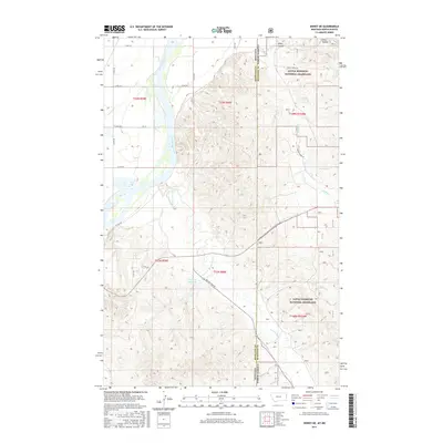
2017 Map of Sidney NE
USGS Topo · Published 2017About this map
The Yellowstone River winds through the western edge of this landscape at the border of Montana and North Dakota, defining the boundary between Richland and McKenzie counties. This 2017 survey reveals a sparsely populated terrain dominated by ranching infrastructure and natural watercourses. Much of the eastern portion is protected as part of the Little Missouri National Grassland, where the land is carved by deep drainages like Estes Coulee and Cheney Cr. The map documents a network of county roads, such as Bennie Peer Rd and Co Rd 126, which connect remote homesteads and agricultural sites like the McGlynn Reservoir. Evidence of local hydrology is found in features like Estes Spring and Alkali Cr, illustrating the vital importance of water management in this high-plains environment.
Find a feature on this map
27 named features on this map. Tap any name to fly to it.
Don’t see what you’re looking for? This feature index may not catch every label — zoom into the map to look around manually.
Map Details
Editions of this 2017 Sidney NE Map
This is the sole edition of this map. No revisions or reprints were ever made.
Other maps of this area

1909 · Glendive
USGS Topo · 1:250,000

1953 · Watford City
USGS Topo · 1:250,000

1954 · Glendive
USGS Topo · 1:250,000

1957 · Glendive
USGS Topo · 1:250,000

1957 · Watford City
USGS Topo · 1:250,000

1958 · Glendive
USGS Topo · 1:250,000

1966 · Piche
USGS Topo · 1:24,000

1966 · Sidney NE
USGS Topo · 1:24,000

1966 · Sidney
USGS Topo · 1:24,000

1967 · Watford City
USGS Topo · 1:250,000