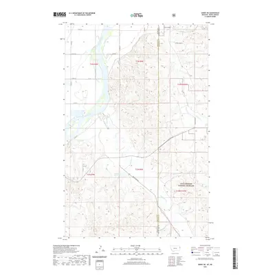
2020 Map of Sidney NE
USGS Topo · Published 2020About this map
The Yellowstone River flows through the western edge of this landscape, marking the transition between Montana's Richland County and North Dakota's McKenzie County. This border region is characterized by an extensive network of drainages and coulees that feed into the river system, including Bennie Peer Cr and Cheney Cr. To the southeast, the terrain reaches into the Little Missouri National Grassland, where the land is carved by Alkali Cr and Devils Cr. Evidence of water management in this arid environment is visible at the McGlynn Reservoir, while local landmarks like Estes Spring and Estes Coulee indicate long-standing family associations with the territory. The map illustrates a grid of section roads, such as Cheney Creek Rd and Bennie Peer Rd, which support the rural ranching and agricultural economy of the high plains.
Find a feature on this map
29 named features on this map. Tap any name to fly to it.
Don’t see what you’re looking for? This feature index may not catch every label — zoom into the map to look around manually.
Map Details
Editions of this 2020 Sidney NE Map
This is the sole edition of this map. No revisions or reprints were ever made.
Other maps of this area

1909 · Glendive
USGS Topo · 1:250,000

1953 · Watford City
USGS Topo · 1:250,000

1954 · Glendive
USGS Topo · 1:250,000

1957 · Glendive
USGS Topo · 1:250,000

1957 · Watford City
USGS Topo · 1:250,000

1958 · Glendive
USGS Topo · 1:250,000

1966 · Piche
USGS Topo · 1:24,000

1966 · Sidney NE
USGS Topo · 1:24,000

1966 · Sidney
USGS Topo · 1:24,000

1967 · Watford City
USGS Topo · 1:250,000