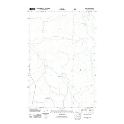
2011 Map of Sidney SE
USGS Topo · Published 2011About this map
Klandl Headquarters and the nearby Klandl Ranch stand as focal points of activity in this semi-arid ranching landscape on the Montana-North Dakota border. The presence of a Flowing Water Well north of the ranch and several scattered water management structures, including Olson Dam, Folkord Dam, and Buxbaum Number 2 Dam, underscores the critical importance of water conservation for livestock and agriculture in this environment. The terrain is defined by a dendritic drainage network where O'Brien Creek and Devitt Creek carve through the plains, eventually feeding toward the Missouri River basin. A system of section-line roads and forest service routes like 816 and 8165 provides the primary infrastructure for the sparsely populated area, connecting the remote ranching operations to the wider region of Richland County.
Find a feature on this map
19 named features on this map. Tap any name to fly to it.
Don’t see what you’re looking for? This feature index may not catch every label — zoom into the map to look around manually.
Map Details
Editions of this 2011 Sidney SE Map
This is the sole edition of this map. No revisions or reprints were ever made.
Other maps of this area

1909 · Glendive
USGS Topo · 1:250,000

1953 · Watford City
USGS Topo · 1:250,000

1954 · Glendive
USGS Topo · 1:250,000

1957 · Glendive
USGS Topo · 1:250,000

1957 · Watford City
USGS Topo · 1:250,000

1958 · Glendive
USGS Topo · 1:250,000

1966 · Piche
USGS Topo · 1:24,000

1966 · Sidney NE
USGS Topo · 1:24,000

1966 · Skaar NW
USGS Topo · 1:24,000

1966 · Sidney
USGS Topo · 1:24,000