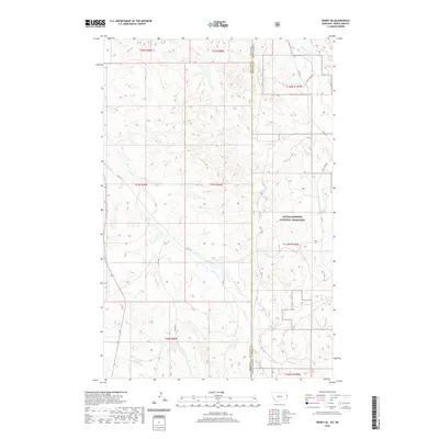
2020 Map of Sidney SE
USGS Topo · Published 2020About this map
The high plains of the Montana-North Dakota state line are defined by the rugged drainage network of the Badlands, where the Little Missouri National Grassland dominates the eastern landscape. This 2020 survey illustrates the remote topography where Richland and McKenzie counties meet, marked by a system of deeply carved seasonal waterways including Bennie Peer Cr, Devitt Cr, and O'Brien Cr. The map captures a landscape of extreme relief and sparse human infrastructure, where the section lines of the Public Land Survey System (PLSS) dictate the movement of local travel along routes like Co Rd 116 and Bennie Peer Rd. The transition from the Montana high country to the protected grasslands of North Dakota highlights the contrast between privately managed rangeland and federal conservation efforts at the edge of the Missouri River watershed.
Find a feature on this map
22 named features on this map. Tap any name to fly to it.
Don’t see what you’re looking for? This feature index may not catch every label — zoom into the map to look around manually.
Map Details
Editions of this 2020 Sidney SE Map
This is the sole edition of this map. No revisions or reprints were ever made.
Other maps of this area

1909 · Glendive
USGS Topo · 1:250,000

1953 · Watford City
USGS Topo · 1:250,000

1954 · Glendive
USGS Topo · 1:250,000

1957 · Glendive
USGS Topo · 1:250,000

1957 · Watford City
USGS Topo · 1:250,000

1958 · Glendive
USGS Topo · 1:250,000

1966 · Piche
USGS Topo · 1:24,000

1966 · Sidney NE
USGS Topo · 1:24,000

1966 · Skaar NW
USGS Topo · 1:24,000

1966 · Sidney
USGS Topo · 1:24,000