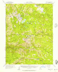
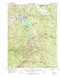
1955 Map of Sierra City
USGS Topo · Published 1957About this map
Sierra City stands as a focal point in this mid-century survey of the Northern Sierra Nevada, anchored by a legacy of gold mining and high-altitude recreation. The landscape is dense with lode mining history, featuring the Sierra Buttes Mine, Keystone Mine, and Jamison Mine, along with numerous prospects like the Hawley Prospect. These industrial sites are interspersed with the emerging 1950s vacation culture seen at Mc Lear Resort, Gold Lake Lodge, and various youth camps such as the Sacramento Boy Scout Camp.
Find a feature on this map
191 named features on this map. Tap any name to fly to it.
Don’t see what you’re looking for? This feature index may not catch every label — zoom into the map to look around manually.
Map Details
Editions of this 1955 Sierra City Map
5 editions found
Other maps of this area

1890 · Sierraville
USGS Topo · 1:125,000

1891 · Downieville
USGS Topo · 1:125,000

1891 · Colfax
USGS Topo · 1:125,000

1891 · Truckee
USGS Topo · 1:125,000

1892 · Sierraville
USGS Topo · 1:125,000

1892 · Colfax
USGS Topo · 1:125,000

1893 · Truckee
USGS Topo · 1:125,000

1893 · Downieville
USGS Topo · 1:125,000

1894 · Colfax
USGS Topo · 1:125,000

1894 · Sierraville
USGS Topo · 1:125,000