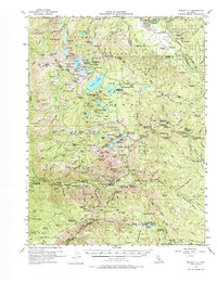
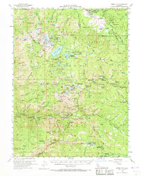
1955 Map of Sierra City
USGS Topo · Published 1977About this map
The high Sierra Nevada terrain near Sierra City is defined by a dense concentration of mid-century mining claims and alpine retreats. The landscape is a network of deep-cut canyons and high peaks like the Sierra Buttes, where industrial history meets early mountain tourism. Patches of the Plumas National Forest and Tahoe National Forest contain numerous historic operations, including the Jamison Mine, Keystone Mine, and Empire Mine. The mapping of the Milton-Bowman Tunnel cutting through the granite reflects the complex water management systems vital to both the gold country and the valleys below.
Find a feature on this map
165 named features on this map. Tap any name to fly to it.
Don’t see what you’re looking for? This feature index may not catch every label — zoom into the map to look around manually.
Map Details
Editions of this 1955 Sierra City Map
5 editions found
Other maps of this area

1890 · Sierraville
USGS Topo · 1:125,000

1891 · Downieville
USGS Topo · 1:125,000

1891 · Colfax
USGS Topo · 1:125,000

1891 · Truckee
USGS Topo · 1:125,000

1892 · Sierraville
USGS Topo · 1:125,000

1892 · Colfax
USGS Topo · 1:125,000

1893 · Truckee
USGS Topo · 1:125,000

1893 · Downieville
USGS Topo · 1:125,000

1894 · Colfax
USGS Topo · 1:125,000

1894 · Sierraville
USGS Topo · 1:125,000