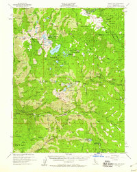
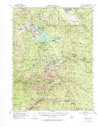
1955 Map of Sierra City
USGS Topo · Published 1960About this map
Sierra City serves as the focal point of this mid-century survey, situated along the North Fork of the Yuba River beneath the towering Sierra Buttes. The landscape is a complex network of 19th-century mining heritage and developing mid-century recreation. Scores of individual workings like the Keystone Mine, Empire Mine, and Kentucky Mine are scattered across the slopes, connected by old roads and the Lilliput Trail.
Find a feature on this map
163 named features on this map. Tap any name to fly to it.
Don’t see what you’re looking for? This feature index may not catch every label — zoom into the map to look around manually.
Map Details
Editions of this 1955 Sierra City Map
5 editions found
Other maps of this area

1890 · Sierraville
USGS Topo · 1:125,000

1891 · Downieville
USGS Topo · 1:125,000

1891 · Colfax
USGS Topo · 1:125,000

1891 · Truckee
USGS Topo · 1:125,000

1892 · Sierraville
USGS Topo · 1:125,000

1892 · Colfax
USGS Topo · 1:125,000

1893 · Truckee
USGS Topo · 1:125,000

1893 · Downieville
USGS Topo · 1:125,000

1894 · Colfax
USGS Topo · 1:125,000

1894 · Sierraville
USGS Topo · 1:125,000