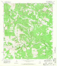
1968 Map of Signal Hill
USGS Topo · Published 1971About this map
Cedar Valley sits at the northern edge of this late 1960s survey, where the dividing line between Travis Co and Hays Co cuts diagonally across the landscape. The terrain is defined by a dense network of ranch lands and drainages, with Signal Hill Ranch, Koenig Ranch, and Spillar Ranch occupying significant acreage. The geography is punctuated by the presence of numerous Gravel Pits and a Quarry, indicating the local extractive industry of the time. Local history is anchored by Friendship Ch and family burying grounds such as Oliver Cem and Johnson Cem. Waterways like Slaughter Creek and Bear Creek wind through the hills, while Friday Mountain and Barden Hill provide prominent relief. The era is further captured by the emerging residential road network, including Rim Rock Trail and Kit Carson Dr, alongside industrial infrastructure like the prominent Pipeline corridors.
Find a feature on this map
36 named features on this map. Tap any name to fly to it.
Don’t see what you’re looking for? This feature index may not catch every label — zoom into the map to look around manually.
Map Details
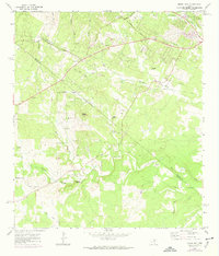
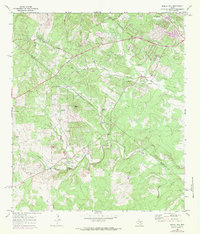
Editions of this 1968 Signal Hill Map
Other maps of this area

1887 · Blanco
USGS Topo · 1:125,000

1894 · Blanco
USGS Topo · 1:125,000

1896 · Austin
USGS Topo · 1:125,000

1897 · Austin
USGS Topo · 1:125,000

1910 · Austin
USGS Topo · 1:125,000

1932 · Mt. Bonnell
USGS Topo · 1:62,500

1954 · Austin West
USGS Topo · 1:24,000

1954 · Llano
USGS Topo · 1:250,000

1954 · Austin
USGS Topo · 1:250,000

1955 · Llano
USGS Topo · 1:250,000