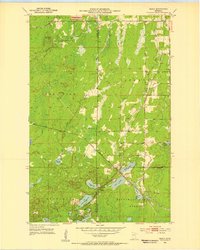
1952 Map of Silica
USGS Topo · Published 1954About this map
Silica and the industrial corridors of the Iron Range are documented in this early 1950s survey, illustrating a landscape shaped by mineral extraction and timber resources. The Duluth Missabe and Iron Range railroad and the Great Northern line cut through the terrain, connecting small settlements like Bengal and Noyes to larger economic centers. Heavy industrial footprints are visible through features like the Tailings Pond and Gravel Pits, while the natural topography is defined by prominent elevations such as Blueberry Hill and Bengal Hill. Local life is anchored by landmarks like St Theresa Ch, located just outside the eastern edge of the Floodwood Memorial Forest. A network of water bodies, including Sand Lake, Coons Lake, and Little Island Lake, provides a stark contrast to the nearby Old Railroad Grade and other infrastructure supporting the region's mid-century mining economy.
Find a feature on this map
32 named features on this map. Tap any name to fly to it.
Don’t see what you’re looking for? This feature index may not catch every label — zoom into the map to look around manually.
Map Details
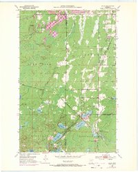
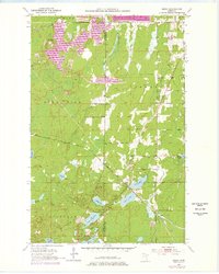
Editions of this 1952 Silica Map
4 editions found
Other maps of this area

1951 · Hibbing
USGS Topo · 1:24,000

1952 · Keewatin
USGS Topo · 1:24,000

1952 · Riley
USGS Topo · 1:24,000

1952 · Nashwauk
USGS Topo · 1:24,000

1952 · Silica
USGS Topo · 1:24,000

1952 · Pengilly
USGS Topo · 1:24,000

1954 · Hibbing
USGS Topo · 1:250,000

1957 · Hibbing
USGS Topo · 1:250,000

1957 · Hibbing
USGS Topo · 1:24,000

1958 · Hibbing
USGS Topo · 1:250,000