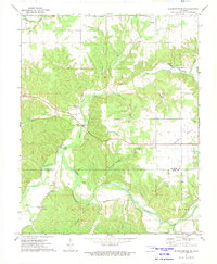
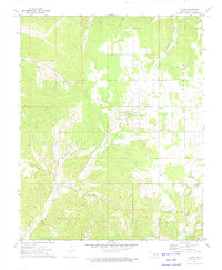
1972 Map of Siloam Springs NW
USGS Topo · Published 1974About this map
The Illinois River meanders through the heart of this region on the Delaware and Adair County line, shaping a landscape defined by deep hollows and broad upland prairies. Early 1970s land use is evident in the transition from the wooded corridors of Calunchety Hollow and Fivemile Hollow to the open expanse of Moseley Prairie in the east. Small communities and rural gathering points serve as the primary anchors for local history, including the settlement at Flint and the Ballard area to the south.
Find a feature on this map
41 named features on this map. Tap any name to fly to it.
Don’t see what you’re looking for? This feature index may not catch every label — zoom into the map to look around manually.
Map Details
Editions of this 1972 Siloam Springs NW Map
2 editions found
Other maps of this area

1899 · Siloam Springs
USGS Topo · 1:125,000

1903 · Siloam Springs
USGS Topo · 1:125,000

1904 · Siloam Springs
USGS Topo · 1:125,000

1954 · Tulsa
USGS Topo · 1:250,000

1958 · Tulsa
USGS Topo · 1:250,000

1963 · Tulsa
USGS Topo · 1:250,000

1971 · Jay SE
USGS Topo · 1:24,000
1971 · Cherokee City
USGS Topo · 1:24,000
1971 · Colcord
USGS Topo · 1:24,000
1972 · Chance
USGS Topo · 1:24,000