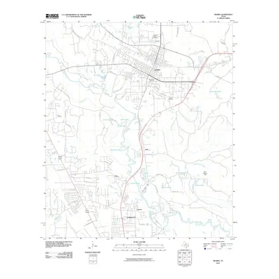
2010 Map of Silsbee
USGS Topo · Published 2010About this map
Silsbee and Lumberton anchor this southeastern Texas landscape, where the meandering course of Village Creek shapes the local geography. The map reveals a transition from the established urban grids of Silsbee to the spreading residential developments and timbered expanses further south. A dense network of waterways, including Old Mill Pond, Blue Hole, and Patterson Lake, illustrates the bottomland environment typical of the Hardin County region.
Find a feature on this map
63 named features on this map. Tap any name to fly to it.
Don’t see what you’re looking for? This feature index may not catch every label — zoom into the map to look around manually.
Map Details
Editions of this 2010 Silsbee Map
This is the sole edition of this map. No revisions or reprints were ever made.
Other maps of this area

1926 · Lakeview
USGS Topo · 1:24,000

1932 · Beaumont
USGS Topo · 1:62,500

1954 · Beaumont
USGS Topo · 1:250,000

1955 · Silsbee
USGS Topo · 1:62,500

1955 · Kountze
USGS Topo · 1:62,500

1955 · Sour Lake
USGS Topo · 1:62,500

1957 · Beaumont
USGS Topo · 1:250,000
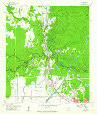
1960 · Voth
USGS Topo · 1:24,000
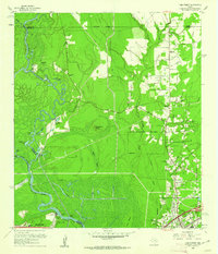
1960 · Pine Forest
USGS Topo · 1:24,000

1984 · Beaumont
USGS Topo · 1:250,000