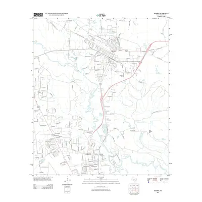
2013 Map of Silsbee
USGS Topo · Published 2013About this map
The timber-rich landscape of Hardin County is defined by the winding course of Village Cr as it flows past the established communities of Silsbee and Lumberton. This early 21st-century survey documents the suburban expansion between these towns, notably around the smaller settlements of Seth and Fletcher. The eastern portion of the map transitions into the wetlands of the Big Thicket National Preserve, where features like Massey Lake Slough and Bear Woods Flat characterize the bottomland environment. Local history is anchored by several burial grounds, including Peaceful Rest Cem and Knupple Cem, while educational infrastructure is represented by the Southeast Texas Career Institute. The map captures a complex network of waterways, from Patterson Lake to Old Mill Pond, illustrating the persistent influence of the region's hydrology on its residential and industrial development.
Find a feature on this map
235 named features on this map. Tap any name to fly to it.
Don’t see what you’re looking for? This feature index may not catch every label — zoom into the map to look around manually.
Map Details
Editions of this 2013 Silsbee Map
This is the sole edition of this map. No revisions or reprints were ever made.
Other maps of this area

1926 · Lakeview
USGS Topo · 1:24,000

1932 · Beaumont
USGS Topo · 1:62,500

1954 · Beaumont
USGS Topo · 1:250,000

1955 · Silsbee
USGS Topo · 1:62,500

1955 · Kountze
USGS Topo · 1:62,500

1955 · Sour Lake
USGS Topo · 1:62,500

1957 · Beaumont
USGS Topo · 1:250,000
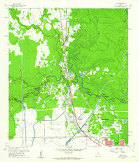
1960 · Voth
USGS Topo · 1:24,000
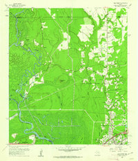
1960 · Pine Forest
USGS Topo · 1:24,000

1984 · Beaumont
USGS Topo · 1:250,000