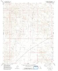
1955 Map of Silver Bell Mine
USGS Topo · Published 1992About this map
The Lava Bed Mountains dominate this arid expanse of San Bernardino County, where volcanic activity and industrial extraction define the 1950s landscape. Industrial efforts are concentrated around the namesake Silver Bell Mine and a Cinder Pit, alongside various unnamed prospects that hint at the region's mineral potential. The topography is deeply scarred by drainage features like Box Canyon, while rare water sources such as Sheep Spr provide critical landmarks in an otherwise parched environment.
Find a feature on this map
11 named features on this map. Tap any name to fly to it.
Don’t see what you’re looking for? This feature index may not catch every label — zoom into the map to look around manually.
Map Details
Editions of this 1955 Silver Bell Mine Map
3 editions found
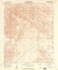
Other maps of this area

1953 · San Bernardino
USGS Topo · 1:250,000

1954 · Galway Lake
USGS Topo · 1:24,000

1955 · Silver Bell Mine
USGS Topo · 1:24,000

1955 · Sunshine Peak
USGS Topo · 1:24,000

1955 · Newberry
USGS Topo · 1:62,500

1955 · Lavic
USGS Topo · 1:62,500

1955 · Cady Mountains
USGS Topo · 1:62,500

1955 · Rodman Mountains
USGS Topo · 1:62,500

1956 · San Bernardino
USGS Topo · 1:250,000

1957 · San Bernardino
USGS Topo · 1:250,000