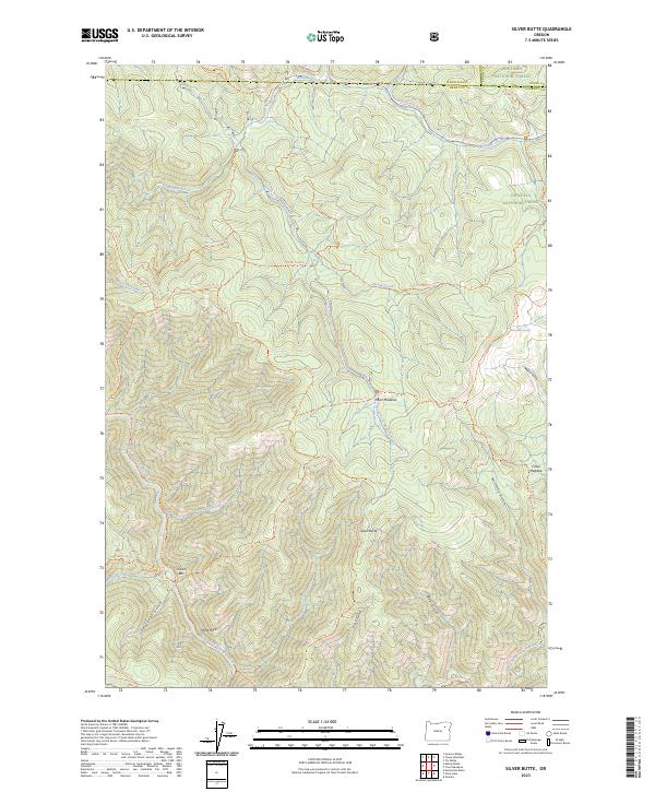
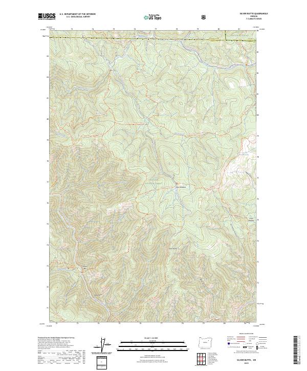
2023 Map of Silver Butte
USGS Topo · Published 2023About this map
Silver Butte stands as a prominent central landmark within this portion of the Blue Mountains, where the boundaries of the Umatilla National Forest and Whitman National Forest converge. The landscape is defined by the deep incision of the North Fork John Day River, which is protected here as the North Fork John Day Wild and Scenic River. Along its banks, small named points like Dixson Bar suggest historical activity in the river canyon, while higher elevations are marked by seasonal clearings such as Moon Meadow and China Meadow.
Find a feature on this map
50 named features on this map. Tap any name to fly to it.
Don’t see what you’re looking for? This feature index may not catch every label — zoom into the map to look around manually.
Map Details
Editions of this 2023 Silver Butte Map
2 editions found
Other maps of this area

1901 · Sumpter
USGS Topo · 1:125,000

1951 · Desolation Butte
USGS Topo · 1:62,500

1953 · Pendleton
USGS Topo · 1:250,000

1955 · Canyon City
USGS Topo · 1:250,000

1956 · Pendleton
USGS Topo · 1:250,000

1959 · Canyon City
USGS Topo · 1:250,000

1965 · Fly Valley
USGS Topo · 1:24,000

1967 · Tower Mtn
USGS Topo · 1:24,000

1967 · Pearson Ridge
USGS Topo · 1:24,000

1972 · Trout Meadows
USGS Topo · 1:24,000