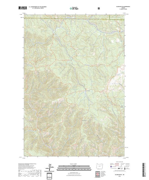
2023 Map of Silver Butte
USGS Topo · Published 2023About this map
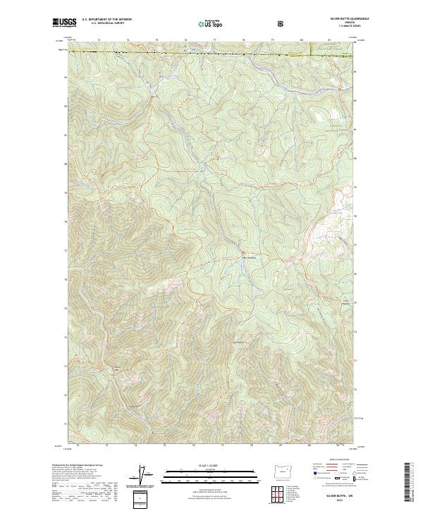
North Fork John Day Wilderness and the surrounding reaches of the Umatilla National Forest dominate this high-country survey of northeastern Oregon. The landscape is defined by the steep drainages of the North Fork John Day Wild and Scenic River and its numerous tributaries, including Meadow Creek and Silver Creek. Human activity is primarily represented by an extensive network of pack trails, such as the Moon Meadows Trl and Silver Butte Trl, which connect high points like Silver Butte to meadowlands and springs. Notable landmarks for local history and geographic orientation include the river-side location of Dixson Bar and the distinctive Wind Rock. This contemporary survey details a remote area where management boundaries and designated wilderness protections preserve the character of the terrain, from the China Meadow to the deep incisions of McCarty Gulch.
Find a feature on this map
49 named features on this map. Tap any name to fly to it.
Don’t see what you’re looking for? This feature index may not catch every label — zoom into the map to look around manually.
Map Details
Editions of this 2023 Silver Butte Map
2 editions found
Other maps of this area

1901 · Sumpter
USGS Topo · 1:125,000

1951 · Desolation Butte
USGS Topo · 1:62,500

1953 · Pendleton
USGS Topo · 1:250,000

1955 · Canyon City
USGS Topo · 1:250,000

1956 · Pendleton
USGS Topo · 1:250,000

1959 · Canyon City
USGS Topo · 1:250,000

1965 · Fly Valley
USGS Topo · 1:24,000

1967 · Tower Mtn
USGS Topo · 1:24,000

1967 · Pearson Ridge
USGS Topo · 1:24,000

1972 · Trout Meadows
USGS Topo · 1:24,000