
1900 Map of Silver Peak
USGS Topo · Published 1900About this map
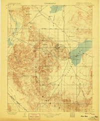
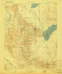
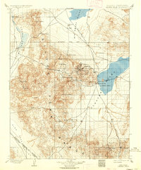
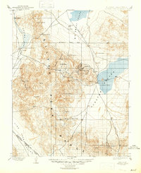
Silver Peak stands as the primary hub of this high-desert landscape at the turn of the century, positioned where the Silver Peak Range meets the expansive Clayton Valley. Industrial activity is centered around the Drinkwater Mine and Pacific Borax Co. Mill, signaling the era's focus on mineral extraction in the Great Basin. The map details an arid environment defined by a critical network of water sources, from the curiously named Tarantula Spring and Coyote Hole to the more substantial Indian Garden Spring and Minnesota Spring. Significant topographic markers like Emigrant Peak and Emigrant Pass reflect the historical travel routes through the region. Of particular interest are the desert landforms such as Goat Island and Alcatraz Island, which emerge from the playas of Clayton Valley, and the remote transition at The Crossing in Fish Lake Valley.
Find a feature on this map
43 named features on this map. Tap any name to fly to it.
Don’t see what you’re looking for? This feature index may not catch every label — zoom into the map to look around manually.
Map Details
Editions of this 1900 Silver Peak Map
5 editions found
Other maps of this area

1898 · Silver Peak
USGS Topo · 1:125,000

1907 · Tonopah
USGS Topo · 1:250,000

1908 · Lida
USGS Topo · 1:250,000

1908 · Tonopah
USGS Topo · 1:250,000

1909 · Hawthorne
USGS Topo · 1:250,000

1911 · Hawthorne
USGS Topo · 1:250,000

1913 · Bishop
USGS Topo · 1:125,000

1913 · Lida
USGS Topo · 1:250,000

1915 · Hawthorne
USGS Topo · 1:250,000

1917 · White Mountain
USGS Topo · 1:125,000