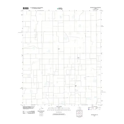
2010 Map of Silverton SW
USGS Topo · Published 2010About this map
Lone Star sits at a remote crossroads in the high plains of Floyd County, where the landscape is defined by a dense grid of ranch roads and scattered natural depressions. The area is characterized by an expansive agricultural and aviation footprint, featuring Sherman Airport as a primary landmark in this rural territory. To the south, the topography shifts near the drainage of Quitaque Creek, which breaks the otherwise uniform section lines. This 2010 survey illustrates the modernization of traditional Texas ranching country, where established routes like Fm 378 and Ranch Rd 378 connect isolated homesteads and infrastructure. The map records a precise network of county roads, such as Co Rd 129 and Co Rd 119, providing a look at the rural property divisions and land use in the Llano Estacado region during the early 21st century.
Find a feature on this map
31 named features on this map. Tap any name to fly to it.
Don’t see what you’re looking for? This feature index may not catch every label — zoom into the map to look around manually.
Map Details
Editions of this 2010 Silverton SW Map
This is the sole edition of this map. No revisions or reprints were ever made.
Other maps of this area

1954 · Plainview
USGS Topo · 1:250,000

1958 · Plainview
USGS Topo · 1:250,000

1965 · Whiteley
USGS Topo · 1:24,000

1965 · Silverton
USGS Topo · 1:24,000

1965 · Rock Creek
USGS Topo · 1:24,000

1965 · Silverton SW
USGS Topo · 1:24,000

1966 · Sterley
USGS Topo · 1:24,000

1966 · South Plains
USGS Topo · 1:24,000

1968 · Aiken
USGS Topo · 1:24,000

1969 · Claytonville
USGS Topo · 1:24,000