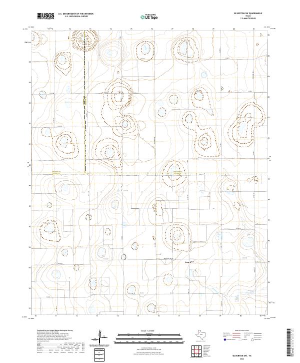
2022 Map of Silverton SW
USGS Topo · Published 2022About this map
Lone Star sits near the southern edge of this West Texas landscape, where the agricultural grid meets the breaks of the Caprock. The terrain is defined by numerous playa lakes and the headwaters of Quitaque Cr, which cuts through the southeastern corner. This area serves as a significant tri-county junction, where the boundaries of Swisher, Briscoe, and Floyd counties converge. A network of rural routes, including Fm 788 and Ranch Rd 378, provides access to the scattered farmsteads and ranching operations that characterize this portion of the Llano Estacado. The map detail shows the transition from flat tabletop farmland to the emerging drainage patterns of the Rolling Plains.
Find a feature on this map
35 named features on this map. Tap any name to fly to it.
Don’t see what you’re looking for? This feature index may not catch every label — zoom into the map to look around manually.
Map Details
Editions of this 2022 Silverton SW Map
This is the sole edition of this map. No revisions or reprints were ever made.
Other maps of this area

1954 · Plainview
USGS Topo · 1:250,000

1958 · Plainview
USGS Topo · 1:250,000

1965 · Whiteley
USGS Topo · 1:24,000

1965 · Silverton
USGS Topo · 1:24,000

1965 · Rock Creek
USGS Topo · 1:24,000

1965 · Silverton SW
USGS Topo · 1:24,000

1966 · Sterley
USGS Topo · 1:24,000

1966 · South Plains
USGS Topo · 1:24,000

1968 · Aiken
USGS Topo · 1:24,000

1969 · Claytonville
USGS Topo · 1:24,000