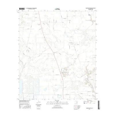
2016 Map of Simmons Bottom
USGS Topo · Published 2016About this map
Luce Bayou and Tarkington Bayou define this low-lying landscape in Liberty County, where water significantly dictates the patterns of human settlement and transport. The map centers on the community of Eastwood Park and the rural expanse of Simmons Bottom, characterized by a complex network of county roads such as Co RD 3015 and Co RD 2300. This 2016 survey illustrates the persistent agricultural and swampy character of the region, where drainage features like Indian Gulley, Long John Cr, and Prairie Marsh Gully weave between modern parcels.
Find a feature on this map
61 named features on this map. Tap any name to fly to it.
Don’t see what you’re looking for? This feature index may not catch every label — zoom into the map to look around manually.
Map Details
Editions of this 2016 Simmons Bottom Map
This is the sole edition of this map. No revisions or reprints were ever made.
Other maps of this area

1916 · Huffman
USGS Topo · 1:24,000

1920 · Huffman
USGS Topo · 1:31,680

1943 · Liberty
USGS Topo · 1:125,000

1954 · Beaumont
USGS Topo · 1:250,000

1955 · Rayburn
USGS Topo · 1:62,500

1955 · Liberty
USGS Topo · 1:62,500

1957 · Beaumont
USGS Topo · 1:250,000

1958 · Cleveland
USGS Topo · 1:24,000

1959 · Plum Grove
USGS Topo · 1:24,000
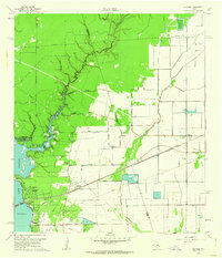
1960 · Huffman
USGS Topo · 1:24,000