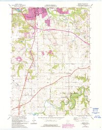
1974 Map of Simpson
USGS Topo · Published 1993About this map
The south-central reaches of Rochester expand toward the pastoral lands of Marion and Pleasant Grove in this mid-1970s record, revised in the early 1990s. The landscape is a mix of agricultural heritage and modern utility, featuring the Rochester Municipal Airport and the specialized Institute of Experimental Medicine. Along the North Branch Root River, the Richard J Dorer Memorial Hardwood State Forest preserves the river's winding course near the Fugles Mill Historical Site, reflecting the area's early industrial roots.
Find a feature on this map
46 named features on this map. Tap any name to fly to it.
Don’t see what you’re looking for? This feature index may not catch every label — zoom into the map to look around manually.
Map Details
Editions of this 1974 Simpson Map
2 editions found
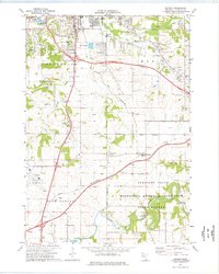
Other maps of this area

1935 · Rochester
USGS Topo · 1:48,000

1939 · Rochester
USGS Topo · 1:62,500

1953 · Saint Paul
USGS Topo · 1:250,000

1954 · Mason City
USGS Topo · 1:250,000

1955 · Stewartville
USGS Topo · 1:62,500

1955 · High Forest
USGS Topo · 1:62,500

1957 · Mason City
USGS Topo · 1:250,000

1958 · Mason City
USGS Topo · 1:250,000

1959 · Saint Paul
USGS Topo · 1:250,000

1966 · Douglas
USGS Topo · 1:24,000