
1955 Map of Simpson Springs
USGS Topo · Published 1956About this map
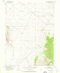
Pony Express Route traces a historical path across this high-desert landscape in the mid-1950s, passing the Pony Express Historic Marker near the base of the Simpson Mts. This area serves as a critical water stop in a demanding environment, centered on the Simpson Springs and its associated Water Tank Simpson Springs. The map documents a rugged transition between the northern reaches of the Grassy Mountain and the expansive flats of the Dugway Proving Ground, which dominates the northwestern quadrant.
Find a feature on this map
19 named features on this map. Tap any name to fly to it.
Don’t see what you’re looking for? This feature index may not catch every label — zoom into the map to look around manually.
Map Details
Editions of this 1955 Simpson Springs Map
3 editions found
Other maps of this area

1885 · Sevier Desert
USGS Topo · 1:250,000

1885 · Tooele Valley
USGS Topo · 1:250,000

1953 · Tooele
USGS Topo · 1:250,000

1953 · Delta
USGS Topo · 1:250,000

1954 · Camels Back Ridge NW
USGS Topo · 1:24,000

1955 · Camels Back Ridge SW
USGS Topo · 1:24,000

1955 · Indian Peaks
USGS Topo · 1:24,000

1955 · Indian Springs
USGS Topo · 1:24,000

1955 · Camels Back Ridge NE
USGS Topo · 1:24,000

1955 · Davis Knolls
USGS Topo · 1:24,000