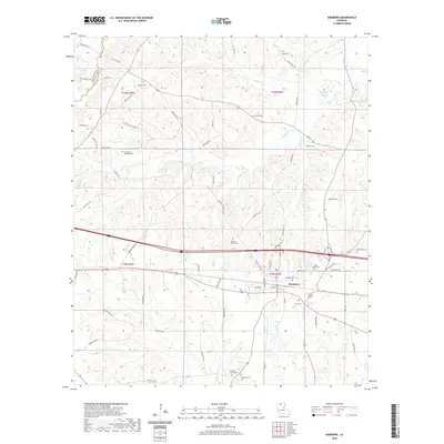
2020 Map of Simsboro
USGS Topo · Published 2020About this map
Simsboro serves as the primary hub of this north Louisiana landscape, situated within a network of creeks and small drainage basins that feed the Dugdemona River. The area is characterized by its numerous historic burial grounds, which offer significant value for genealogical research. Notable sites include Madden Cem in the northwest, Harmony Baptist Cem near Walnut Cr, and the Calcote - Powell Cem further south.
Find a feature on this map
74 named features on this map. Tap any name to fly to it.
Don’t see what you’re looking for? This feature index may not catch every label — zoom into the map to look around manually.
Map Details
Editions of this 2020 Simsboro Map
This is the sole edition of this map. No revisions or reprints were ever made.
Other maps of this area

1947 · Bienville
USGS Topo · 1:62,500

1949 · Bienville
USGS Topo · 1:62,500

1950 · Ruston
USGS Topo · 1:62,500

1950 · Arcadia
USGS Topo · 1:62,500

1951 · Arcadia
USGS Topo · 1:62,500

1951 · Ruston
USGS Topo · 1:62,500

1953 · Hodge
USGS Topo · 1:62,500

1955 · Shreveport
USGS Topo · 1:250,000

1956 · Shreveport
USGS Topo · 1:250,000

1984 · Shreveport
USGS Topo · 1:250,000