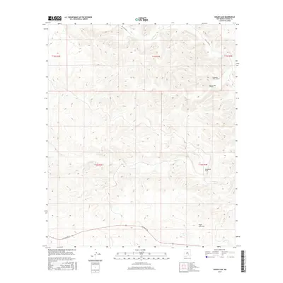
2017 Map of Singer Lake
USGS Topo · Published 2017About this map
Singer Lake sits at the heart of this dry, canyon-carved landscape in Chaves County, where water drainage defines the movement across the high plains. The map details a network of seasonal watercourses and topographic depressions, most notably Singer Lake Draw and the more significant Monument Draw. These features, along with the Rio Felix in the north and Eagle Cr cutting through the center, indicate how water management and natural catchments have historically shaped land use in this part of New Mexico.
Find a feature on this map
14 named features on this map. Tap any name to fly to it.
Don’t see what you’re looking for? This feature index may not catch every label — zoom into the map to look around manually.
Map Details
Editions of this 2017 Singer Lake Map
This is the sole edition of this map. No revisions or reprints were ever made.
Other maps of this area

1954 · Carlsbad
USGS Topo · 1:250,000

1955 · Roswell
USGS Topo · 1:250,000

1958 · Carlsbad
USGS Topo · 1:250,000

1958 · Roswell
USGS Topo · 1:250,000

1960 · Teel Ranch
USGS Topo · 1:62,500

1961 · Flying H
USGS Topo · 1:62,500

1961 · Indian Bluff
USGS Topo · 1:62,500

1962 · Roswell
USGS Topo · 1:250,000

1962 · Dunken
USGS Topo · 1:62,500

1978 · Artesia
USGS Topo · 1:100,000