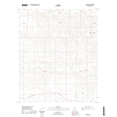
2020 Map of Singer Lake
USGS Topo · Published 2020About this map
Rio Felix winds through the northern reaches of this New Mexico landscape, carved by a network of drainage systems typical of Chaves County. This modern topographic study reveals a terrain defined by significant geographic markers such as Singer Lake Draw and Monument Draw, which orient the hydrology of the high desert. The southern portion of the quadrangle is accessed via Rio Penasco Rd, which skirts the edge of Singer Lake.
Find a feature on this map
14 named features on this map. Tap any name to fly to it.
Don’t see what you’re looking for? This feature index may not catch every label — zoom into the map to look around manually.
Map Details
Editions of this 2020 Singer Lake Map
This is the sole edition of this map. No revisions or reprints were ever made.
Other maps of this area

1954 · Carlsbad
USGS Topo · 1:250,000

1955 · Roswell
USGS Topo · 1:250,000

1958 · Carlsbad
USGS Topo · 1:250,000

1958 · Roswell
USGS Topo · 1:250,000

1960 · Teel Ranch
USGS Topo · 1:62,500

1961 · Flying H
USGS Topo · 1:62,500

1961 · Indian Bluff
USGS Topo · 1:62,500

1962 · Roswell
USGS Topo · 1:250,000

1962 · Dunken
USGS Topo · 1:62,500

1978 · Artesia
USGS Topo · 1:100,000