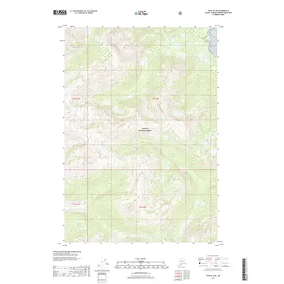
2017 Map of Sitka D-2 NE
USGS Topo · Published 2017About this map
Tongass National Forest dominates this coastal Alaskan landscape, where the steep, timbered slopes of the Alexander Archipelago meet the inland waters. The drainage of Pack Creek is the primary hydrologic feature, winding through deep glacial valleys and narrow ravines typical of this maritime region. This 2017 study illustrates the complex vertical relief of Southeast Alaska, mapping a series of unnamed peaks and high ridges that rise sharply from the shoreline. The map is a record of the wilderness as it was managed in the early twenty-first century, showcasing the dense network of contours and wetlands that define the terrain within Pack Creek basin and the surrounding national forest lands.
Find a feature on this map
6 named features on this map. Tap any name to fly to it.
Don’t see what you’re looking for? This feature index may not catch every label — zoom into the map to look around manually.
Map Details
Editions of this 2017 Sitka D-2 NE Map
This is the sole edition of this map. No revisions or reprints were ever made.
Other maps of this area

1948 · Sitka D-1
USGS Topo · 1:63,360

1948 · Sitka D-2
USGS Topo · 1:63,360

1951 · Juneau
USGS Topo · 1:250,000

1951 · Juneau A-2
USGS Topo · 1:63,360

1951 · Sitka
USGS Topo · 1:250,000

1951 · Juneau A-1
USGS Topo · 1:63,360

1951 · Sitka D-1
USGS Topo · 1:63,360

1951 · Sitka D-2
USGS Topo · 1:63,360

1952 · Sitka
USGS Topo · 1:250,000

1954 · Juneau A-1
USGS Topo · 1:63,360