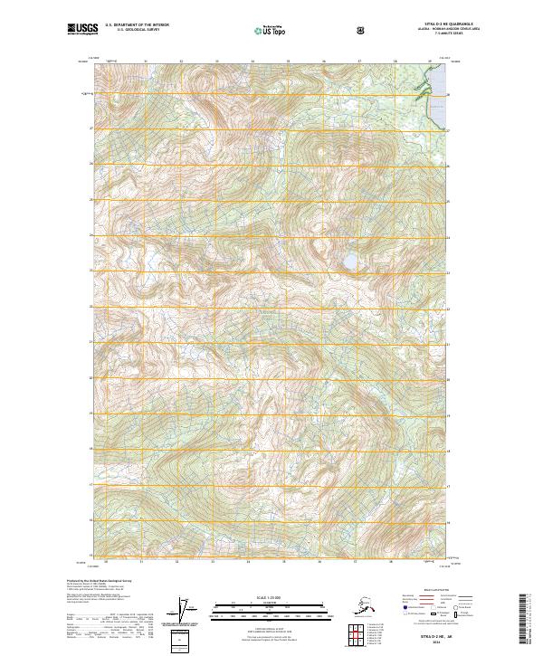
2024 Map of Sitka D-2 NE
USGS Topo · Published 2024About this map
Admiralty Island dominates this high-latitude terrain, where the protected landscapes of the Tongass National Forest and Admiralty Island National Monument overlap. This 2024 survey captures the wilderness character of the Kootznoowoo Wilderness, a region defined by complex drainage systems and significant elevation changes. The coastal interface is marked by Swan Cove in the northeast, which serves as the primary maritime entry point for the area. Moving inland, Pack Creek flows through the central valleys, representing the vital freshwater networks that sustain this ecosystem. The map reflects a modern inventory of this roadless area, emphasizing the preservation of one of the most intact temperate rainforests in the world through its various federal designations and strict wilderness boundaries.
Find a feature on this map
10 named features on this map. Tap any name to fly to it.
Don’t see what you’re looking for? This feature index may not catch every label — zoom into the map to look around manually.
Map Details
Editions of this 2024 Sitka D-2 NE Map
This is the sole edition of this map. No revisions or reprints were ever made.
Other maps of this area

1948 · Sitka D-1
USGS Topo · 1:63,360

1948 · Sitka D-2
USGS Topo · 1:63,360

1951 · Juneau
USGS Topo · 1:250,000

1951 · Juneau A-2
USGS Topo · 1:63,360

1951 · Sitka
USGS Topo · 1:250,000

1951 · Juneau A-1
USGS Topo · 1:63,360

1951 · Sitka D-1
USGS Topo · 1:63,360

1951 · Sitka D-2
USGS Topo · 1:63,360

1952 · Sitka
USGS Topo · 1:250,000

1954 · Juneau A-1
USGS Topo · 1:63,360