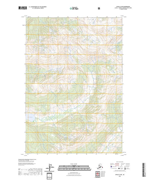
2024 Map of Sitka D-2 NW
USGS Topo · Published 2024About this map
Admiralty Island National Monument encompasses the majority of this landscape on the northern part of the island, a region defined by its dense topographical relief and protected wilderness status. The Kootznoowoo Wilderness occupies the central and northern sections, highlighting a terrain where natural water systems like Wheeler Creek and the expansive Lake Kathleen remain largely undisturbed by modern road networks. This part of the Tongass National Forest illustrates the complex drainage patterns of the Alexander Archipelago, showing how isolated alpine basins feed the coastal lowlands. The absence of industrial or residential labels emphasizes the area's preservation as a primitive habitat, providing a clear record of the island's interior before any significant human alteration in the twenty-first century.
Find a feature on this map
9 named features on this map. Tap any name to fly to it.
Don’t see what you’re looking for? This feature index may not catch every label — zoom into the map to look around manually.
Map Details
Editions of this 2024 Sitka D-2 NW Map
This is the sole edition of this map. No revisions or reprints were ever made.
Other maps of this area

1948 · Juneau A-3
USGS Topo · 1:63,360

1948 · Sitka D-3
USGS Topo · 1:63,360

1948 · Sitka D-2
USGS Topo · 1:63,360

1950 · Juneau A-3
USGS Topo · 1:63,360

1951 · Juneau
USGS Topo · 1:250,000

1951 · Juneau A-2
USGS Topo · 1:63,360

1951 · Sitka
USGS Topo · 1:250,000

1951 · Sitka D-3
USGS Topo · 1:63,360

1951 · Sitka D-2
USGS Topo · 1:63,360

1952 · Sitka
USGS Topo · 1:250,000