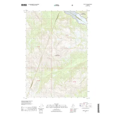
2017 Map of Sitka D-6 NW
USGS Topo · Published 2017About this map
Tongass National Forest dominates this coastal Alaskan landscape, where the boundary between the Hoonah-Angoon Census Area and the Sitka Borough cuts diagonally across the rugged terrain. This 2017 survey illustrates the complex topography of the Alexander Archipelago, showing the steep elevation changes and intricate drainage patterns characteristic of the region. The map captures the intersection of multiple survey townships, including t45s r59e, t45s r58e, t46s r58e, and t46s r59e, providing a precise look at the land division within the national forest. While primarily a wilderness study, the data reveals the natural contours and water systems that have historically dictated movement and land use throughout this part of Southeast Alaska.
Find a feature on this map
6 named features on this map. Tap any name to fly to it.
Don’t see what you’re looking for? This feature index may not catch every label — zoom into the map to look around manually.
Map Details
Editions of this 2017 Sitka D-6 NW Map
This is the sole edition of this map. No revisions or reprints were ever made.
Other maps of this area

1948 · Sitka D-6
USGS Topo · 1:63,360

1948 · Mount Fairweather A-1
USGS Topo · 1:63,360

1951 · Juneau
USGS Topo · 1:250,000

1951 · Juneau A-6
USGS Topo · 1:63,360

1951 · Sitka D-7
USGS Topo · 1:63,360

1951 · Mt Fairweather
USGS Topo · 1:250,000

1951 · Sitka
USGS Topo · 1:250,000

1951 · Sitka D-6
USGS Topo · 1:63,360

1952 · Sitka
USGS Topo · 1:250,000

1954 · Mount Fairweather A-1
USGS Topo · 1:63,360