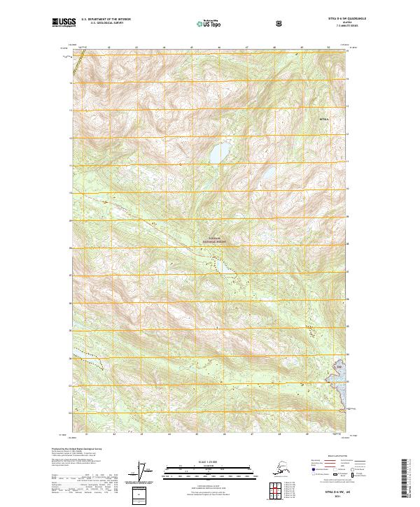
2021 Map of Sitka D-6 SW
USGS Topo · Published 2021About this map
Tongass National Forest dominates this coastal Alaskan landscape, where the Lisianski River and its accompanying Lisianski River Trl cut through the interior. Located within the Sitka City and Borough, the map illustrates a complex network of waterways including the Steelhead River and Granite Cr. The terrain is defined by steep elevation changes and significant glacial or snowfield coverage typical of the Alexander Archipelago. As a modern 2021 study, it utilizes high-resolution imagery and hydrography datasets to document the current state of these protected lands, providing a clear record of the watershed patterns and forest boundaries in this remote part of Sitka.
Find a feature on this map
12 named features on this map. Tap any name to fly to it.
Don’t see what you’re looking for? This feature index may not catch every label — zoom into the map to look around manually.
Map Details
Editions of this 2021 Sitka D-6 SW Map
This is the sole edition of this map. No revisions or reprints were ever made.
Other maps of this area

1948 · Sitka C-7
USGS Topo · 1:63,360

1948 · Sitka C-6
USGS Topo · 1:63,360

1948 · Sitka D-6
USGS Topo · 1:63,360

1951 · Sitka D-7
USGS Topo · 1:63,360

1951 · Sitka
USGS Topo · 1:250,000

1951 · Sitka C-6
USGS Topo · 1:63,360

1951 · Sitka C-7
USGS Topo · 1:63,360

1951 · Sitka D-6
USGS Topo · 1:63,360

1952 · Sitka
USGS Topo · 1:250,000

1964 · Sitka
USGS Topo · 1:250,000