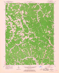
1954 Map of Sitka
USGS Topo · Published 1968About this map
The Lawrence Co Johnson Co boundary line divides this terrain, where a network of rural schools and family-centered churches once anchored local life in the mid-1950s. Communities like Chandlerville and Sitka are centers of gravity along winding creek beds, supported by institutions such as the Nancy Castle Memorial Sch and Sugar Grove Ch. The landscape is defined by its water-carved geography, with numerous branches like Hood Creek and Franks Creek dictating the placement of early settlements and local infrastructure.
Find a feature on this map
89 named features on this map. Tap any name to fly to it.
Don’t see what you’re looking for? This feature index may not catch every label — zoom into the map to look around manually.
Map Details
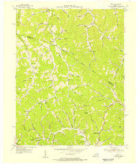
Editions of this 1954 Sitka Map
2 editions found
Other maps of this area

1886 · Prestonsburg
USGS Topo · 1:125,000

1892 · Prestonsburg
USGS Topo · 1:125,000

1903 · Kenova
USGS Topo · 1:125,000

1904 · Kenova
USGS Topo · 1:125,000

1911 · Louisa
USGS Topo · 1:48,000

1913 · Louisa
USGS Topo · 1:62,500

1914 · Inez
USGS Topo · 1:48,000

1915 · Paintsville
USGS Topo · 1:48,000

1916 · Inez
USGS Topo · 1:62,500

1917 · Paintsville
USGS Topo · 1:62,500