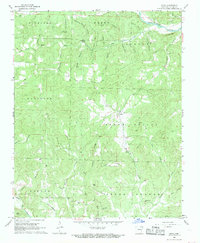
1968 Map of Sitka
USGS Topo · Published 1969About this map
Sitka serves as the central community of this late 1960s landscape in Sharp County, situated amidst a complex network of ridges and hollows. The settlement pattern is defined by the high ground of Lebanon and South Lebanon, where local life centered around several country houses of worship including Hopewell Ch, Bettis Ch, and Pleasant Ridge Ch. Genealogy researchers can identify family-named sites such as the Schales Cem and Buchannan Cem, reflecting generations of residence in this corner of the Ozarks.
Find a feature on this map
52 named features on this map. Tap any name to fly to it.
Don’t see what you’re looking for? This feature index may not catch every label — zoom into the map to look around manually.
Map Details
Editions of this 1968 Sitka Map
2 editions found
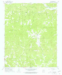
Other maps of this area

1957 · Poplar Bluff
USGS Topo · 1:250,000

1959 · Poplar Bluff
USGS Topo · 1:250,000

1960 · Poplar Bluff
USGS Topo · 1:250,000
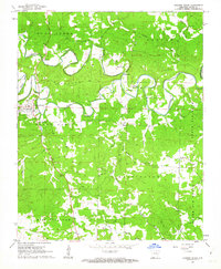
1961 · Evening Shade
USGS Topo · 1:24,000

1962 · Stuart
USGS Topo · 1:24,000

1962 · Ash Flat
USGS Topo · 1:24,000
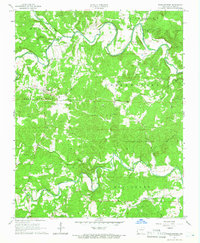
1965 · Poughkeepsie
USGS Topo · 1:24,000
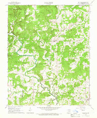
1965 · Smithville
USGS Topo · 1:24,000

1968 · Hardy
USGS Topo · 1:24,000
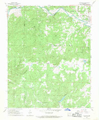
1968 · Ravenden
USGS Topo · 1:24,000