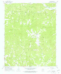
1968 Map of Sitka
USGS Topo · Published 1977About this map
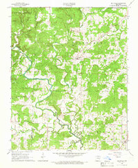
Spring River flows across the northern edge of this Sharp County landscape, accompanied by the St Louis-San Francisco railroad line. The terrain is defined by a series of prominent ridges and hills, including Buck Ridge and Hickory Ridge, which separate the various creek valleys. The small settlement of Sitka serves as a central point, surrounded by upland areas like North Lebanon and South Lebanon. Local history is preserved in the numerous family-named landmarks and rural institutions such as Bettis Ch, Pleasant Ridge Ch, and the Hopewell Cem. The drainage patterns are intricate, with Rock Creek, Mill Creek, and Blakes Creek cutting through the highlands. Genealogists can find specific family connections through sites like Schales Cem and Buchannan Cem, which represent the early social fabric of these Ozark foothills.
Find a feature on this map
38 named features on this map. Tap any name to fly to it.
Don’t see what you’re looking for? This feature index may not catch every label — zoom into the map to look around manually.
Map Details
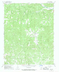
Editions of this 1968 Sitka Map
2 editions found
Other maps of this area

1957 · Poplar Bluff
USGS Topo · 1:250,000

1959 · Poplar Bluff
USGS Topo · 1:250,000

1960 · Poplar Bluff
USGS Topo · 1:250,000
1961 · Evening Shade
USGS Topo · 1:24,000

1962 · Stuart
USGS Topo · 1:24,000

1962 · Ash Flat
USGS Topo · 1:24,000
1965 · Poughkeepsie
USGS Topo · 1:24,000
1965 · Smithville
USGS Topo · 1:24,000

1968 · Hardy
USGS Topo · 1:24,000
1968 · Ravenden
USGS Topo · 1:24,000