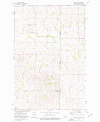
1974 Map of Skaar NE
USGS Topo · Published 1977About this map
Bull Butte stands as a prominent landmark in this mid-1970s survey of the rugged borderland where Montana meets North Dakota. The landscape is defined by the drainage systems of Shadwell Creek and Poison Spring Creek, which carve through the high plains at the meeting point of Richland, McKenzie, and Wibaux counties. The map captures the infrastructure of a remote rural community, marking the locations of Grace Ch and Shadwell Sch, which likely served as the social centers for the surrounding ranching families.
Find a feature on this map
11 named features on this map. Tap any name to fly to it.
Don’t see what you’re looking for? This feature index may not catch every label — zoom into the map to look around manually.
Map Details
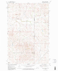
Editions of this 1974 Skaar NE Map
2 editions found
Other maps of this area

1909 · Glendive
USGS Topo · 1:250,000

1953 · Watford City
USGS Topo · 1:250,000

1954 · Glendive
USGS Topo · 1:250,000

1957 · Glendive
USGS Topo · 1:250,000

1957 · Watford City
USGS Topo · 1:250,000

1958 · Glendive
USGS Topo · 1:250,000

1966 · Piche
USGS Topo · 1:24,000

1966 · Skaar NW
USGS Topo · 1:24,000

1967 · Watford City
USGS Topo · 1:250,000

1972 · Sidney SE
USGS Topo · 1:24,000