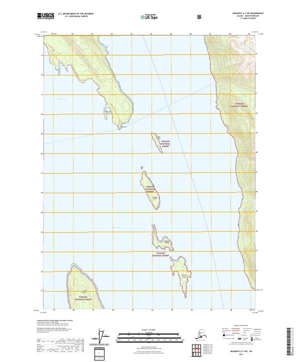
2021 Map of Skagway A-1 SW
USGS Topo · Published 2021About this map
The waters of Lynn Canal and Chilkat Inlet dominate this coastal survey of the Haines Borough, where the maritime landscape is defined by a chain of islands and steep coastal relief. Much of the terrestrial area is protected within the Tongass National Forest, illustrating the vast wilderness management of Southeast Alaska. Significant landforms including Sullivan Island, the Chilkat Islands, and Kataguni Island create a complex archipelago that shapes the local navigation and shoreline.
Find a feature on this map
16 named features on this map. Tap any name to fly to it.
Don’t see what you’re looking for? This feature index may not catch every label — zoom into the map to look around manually.
Map Details
Editions of this 2021 Skagway A-1 SW Map
This is the sole edition of this map. No revisions or reprints were ever made.
Other maps of this area

1948 · Skagway A-1
USGS Topo · 1:63,360

1949 · Juneau D-5
USGS Topo · 1:63,360

1949 · Juneau D-4
USGS Topo · 1:63,360

1951 · Juneau
USGS Topo · 1:250,000

1951 · Skagway A-1
USGS Topo · 1:63,360

1951 · Juneau D-4
USGS Topo · 1:63,360

1952 · Skagway
USGS Topo · 1:250,000

1954 · Skagway A-2
USGS Topo · 1:63,360

1961 · Skagway
USGS Topo · 1:250,000

1962 · Juneau
USGS Topo · 1:250,000