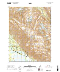
2017 Map of Skagway B-3 NE
USGS Topo · Published 2017About this map
Klukwan serves as a focal point in this 2017 survey, situated near the confluence of the Chilkat River, the Tsirku River, and the Klehini River. This region of the Haines Borough is defined by its dramatic waterway network and the steep elevations of the Takshanuk Mountains and Iron Mtn. The transport corridors of the Haines Highway and Klukwan Road follow the natural contours of the river valleys, connecting small settlements like Wells and Chilkat to the broader geography of the Hoonah-Angoon Census Area. The map reveals how the landscape is shaped by these glacial river systems, which create distinctive landforms such as Glass Point where the Chilkoot River meets the larger drainage basin. This document provides an exacting look at the topographic character of southeast Alaska's interior river valleys during the early twenty-first century.
Find a feature on this map
20 named features on this map. Tap any name to fly to it.
Don’t see what you’re looking for? This feature index may not catch every label — zoom into the map to look around manually.
Map Details
Editions of this 2017 Skagway B-3 NE Map
This is the sole edition of this map. No revisions or reprints were ever made.
Other maps of this area

1948 · Skagway C-3
USGS Topo · 1:63,360

1948 · Skagway C-2
USGS Topo · 1:63,360

1951 · Skagway C-2
USGS Topo · 1:63,360

1952 · Skagway
USGS Topo · 1:250,000

1954 · Skagway B-2
USGS Topo · 1:63,360

1954 · Skagway B-3
USGS Topo · 1:63,360
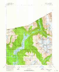
1954 · Skagway C-3
USGS Topo · 1:63,360

1961 · Skagway
USGS Topo · 1:250,000
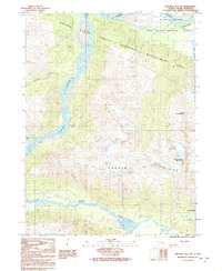
1991 · Skagway B-3 SW
USGS Topo · 1:25,000
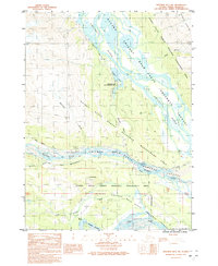
1991 · Skagway B-3 NW
USGS Topo · 1:25,000