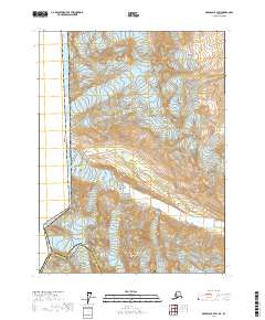
2017 Map of Skagway B-4 SW
USGS Topo · Published 2017About this map
Glacier Bay National Park and the rugged international border define this high-altitude landscape along the Canada United States of America line. This survey captures a terrain of immense ice fields and glacial drainage systems, including the massive Tsirku Glacier and the Saksala Glacier to the north. These frozen giants feed the Tsirku River, which carves through the southeast corner of the map. The elevation is anchored by the Takhinsha Mountains and several high summits like Flower Mtn and Mt Harris. This map illustrates the intersection of Haines Borough and the Hoonah-Angoon Census Area, providing a detailed view of the remote boundary markers Boundary Peak 154 and Boundary Peak 155 that separate Alaska from British Columbia.
Find a feature on this map
18 named features on this map. Tap any name to fly to it.
Don’t see what you’re looking for? This feature index may not catch every label — zoom into the map to look around manually.
Map Details
Editions of this 2017 Skagway B-4 SW Map
This is the sole edition of this map. No revisions or reprints were ever made.
Other maps of this area

1952 · Skagway
USGS Topo · 1:250,000

1954 · Skagway B-4
USGS Topo · 1:63,360
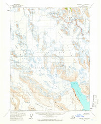
1961 · Skagway A-4
USGS Topo · 1:63,360
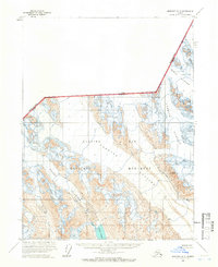
1961 · Skagway A-5
USGS Topo · 1:63,360

1961 · Skagway
USGS Topo · 1:250,000
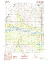
1992 · Skagway B-4 NE
USGS Topo · 1:25,000
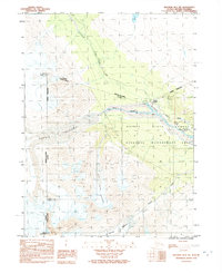
1992 · Skagway B-4 NW
USGS Topo · 1:25,000
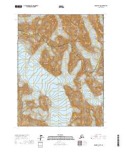
2017 · Skagway A-4 NE
USGS Topo · 1:25,000
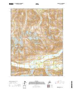
2017 · Skagway B-4 SE
USGS Topo · 1:25,000
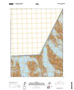
2017 · Skagway A-5 NE
USGS Topo · 1:25,000