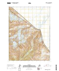
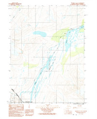
2017 Map of Skagway C-1 NW
USGS Topo · Published 2017About this map
The Chilkoot Trail winds through the heart of this landscape, tracing a legendary path of the northern gold rush era. Within the Klondike Gold Rush National Historical Park, the map illustrates the ascent toward the international boundary, where the Chilkoot Pass marks the high point between the United States and Canada. This rugged corridor served as the primary gateway for thousands of prospectors traveling from the Alaskan coast toward the interior Yukon gold fields.
Find a feature on this map
16 named features on this map. Tap any name to fly to it.
Don’t see what you’re looking for? This feature index may not catch every label — zoom into the map to look around manually.
Map Details
Editions of this 2017 Skagway C-1 NW Map
This is the sole edition of this map. No revisions or reprints were ever made.
Other maps of this area

1948 · Skagway C-2
USGS Topo · 1:63,360

1948 · Skagway C-1
USGS Topo · 1:63,360
1949 · Skagway D-2
USGS Topo · 1:63,360

1951 · Skagway C-1
USGS Topo · 1:63,360

1951 · Skagway C-2
USGS Topo · 1:63,360

1952 · Skagway
USGS Topo · 1:250,000

1961 · Skagway
USGS Topo · 1:250,000
1991 · Skagway C-1 SW
USGS Topo · 1:25,000
1992 · Skagway C-1 NW
USGS Topo · 1:25,000
1992 · Skagway C-1 NE
USGS Topo · 1:25,000