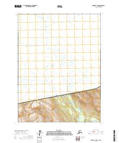
2017 Map of Skagway C-3 NW
USGS Topo · Published 2017About this map
Canada United States of America international border runs across this section of the Haines Borough in Southeast Alaska, separating British Columbia from the American wilderness. The Flemmer River dominates the northern drainage basin, creating a complex web of tributaries and glacial runoff that flows through the unsurveyed northern half of the sheet. To the south, the topography is defined by the steep elevation of Mt Raymond, where the terrain rises sharply from the river valley. This 2017 study illustrates the remote character of the boundary region, where legal land divisions like t25s r55e and t26s r55e meet the natural geographic markers of the Alaskan Panhandle.
Find a feature on this map
10 named features on this map. Tap any name to fly to it.
Don’t see what you’re looking for? This feature index may not catch every label — zoom into the map to look around manually.
Map Details
Editions of this 2017 Skagway C-3 NW Map
This is the sole edition of this map. No revisions or reprints were ever made.
Other maps of this area

1948 · Skagway C-4
USGS Topo · 1:63,360

1948 · Skagway C-3
USGS Topo · 1:63,360

1952 · Skagway
USGS Topo · 1:250,000
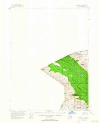
1954 · Skagway C-4
USGS Topo · 1:63,360
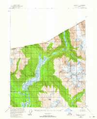
1954 · Skagway C-3
USGS Topo · 1:63,360

1961 · Skagway
USGS Topo · 1:250,000
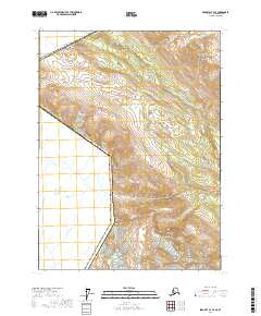
2017 · Skagway C-4 SE
USGS Topo · 1:25,000
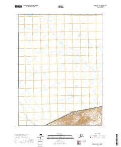
2017 · Skagway C-4 NE
USGS Topo · 1:25,000
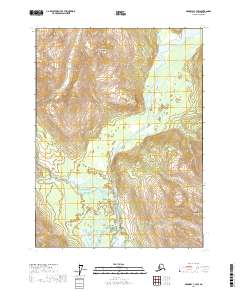
2017 · Skagway C-3 SW
USGS Topo · 1:25,000
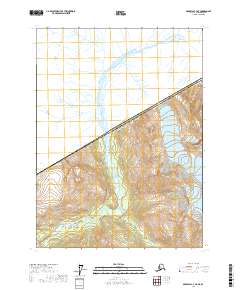
2017 · Skagway C-3 NE
USGS Topo · 1:25,000