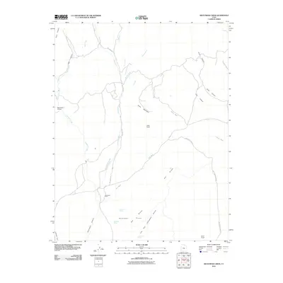
2010 Map of Skutumpah Creek
USGS Topo · Published 2010About this map
Skutumpah Ranch serves as a primary human landmark in this part of Southern Utah, situated near the intersection of Red Wash and the drainages of Skutumpah Creek. The landscape is defined by its complex drainage network and high-altitude relief, where water sources like Old Corral Spring and First Point Spring were essential for the cattle operations that shaped this territory. Topographical features such as Table Mountain and Carly Knoll dominate the horizon, providing natural landmarks for those navigating the region via Mill Creek Rd and Skutumpah Pasture Rd. The map reveals a transition from the elevated Skutumpah Terrace down into the deep cuts of Skutumpah Canyon and the Left Fork Cottonwood Canyon, illustrating the erosional patterns of the Red Breaks area.
Find a feature on this map
30 named features on this map. Tap any name to fly to it.
Don’t see what you’re looking for? This feature index may not catch every label — zoom into the map to look around manually.
Map Details
Editions of this 2010 Skutumpah Creek Map
This is the sole edition of this map. No revisions or reprints were ever made.
Other maps of this area

1886 · Kanab
USGS Topo · 1:250,000

1953 · Cedar City
USGS Topo · 1:250,000

1954 · Buckskin Gulch NW
USGS Topo · 1:24,000

1954 · Johnson NE
USGS Topo · 1:24,000

1954 · Buckskin Gulch
USGS Topo · 1:62,500

1954 · Johnson
USGS Topo · 1:62,500

1958 · Cedar City
USGS Topo · 1:250,000

1962 · Cedar City
USGS Topo · 1:250,000

1966 · Alton
USGS Topo · 1:24,000

1966 · Bald Knoll
USGS Topo · 1:24,000