
1965 Map of Skykomish
USGS Topo · Published 1967About this map
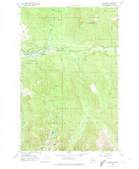
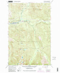
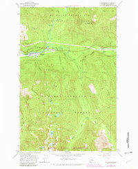
The town of Skykomish serves as the central hub of this mountain landscape, positioned at the confluence where the Beckler River and the Tye River meet to form the South Fork Skykomish River. The map captures the infrastructure of the mid-1960s, showing the town's grid and Landing Strip alongside the prominent route of the Great Northern Railroad. This rail line tracks closely with the riverbanks, illustrating the vital historical connection between the valley's transportation corridor and the surrounding timberlands of the Snoqualmie National Forest.
Find a feature on this map
37 named features on this map. Tap any name to fly to it.
Don’t see what you’re looking for? This feature index may not catch every label — zoom into the map to look around manually.
Map Details
Editions of this 1965 Skykomish Map
4 editions found
Other maps of this area

1902 · Skykomish
USGS Topo · 1:125,000

1905 · Skykomish
USGS Topo · 1:125,000

1957 · Wenatchee
USGS Topo · 1:250,000

1965 · Captain Point
USGS Topo · 1:24,000

1965 · Evergreen Mtn
USGS Topo · 1:24,000

1965 · Grotto
USGS Topo · 1:24,000

1965 · Mount Daniel
USGS Topo · 1:24,000
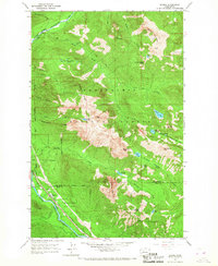
1965 · Baring
USGS Topo · 1:24,000
1965 · Snoqualmie Lake
USGS Topo · 1:24,000
1965 · Big Snow Mtn
USGS Topo · 1:24,000