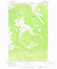
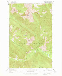
1963 Map of Slate Peak
USGS Topo · Published 1975About this map
Barron and its nearby Ruins sit at the northern edge of this high-altitude landscape, representing the mining legacy of the Cascade Range. Captured in the early 1960s, the map documents a terrain defined by mineral extraction and early wilderness recreation, where the Goat Mine, Whistler Mine, and Brown Bear Mine are scattered across steep slopes. The Cascade Crest Trail winds through the center of the sheet, connecting major topographic markers like Tatie Peak and Glacier Pass.
Find a feature on this map
49 named features on this map. Tap any name to fly to it.
Don’t see what you’re looking for? This feature index may not catch every label — zoom into the map to look around manually.
Map Details
Editions of this 1963 Slate Peak Map
4 editions found
Other maps of this area

1920 · Slate Pass
USGS Topo · 1:125,000

1955 · Concrete
USGS Topo · 1:250,000

1958 · Concrete
USGS Topo · 1:250,000

1962 · Concrete
USGS Topo · 1:250,000

1963 · Washington Pass
USGS Topo · 1:24,000

1963 · Azurite Peak
USGS Topo · 1:24,000

1963 · Slate Peak
USGS Topo · 1:24,000
1963 · Mt. Arriva
USGS Topo · 1:24,000

1963 · Silver Star Mtn.
USGS Topo · 1:24,000
1963 · Robinson Mtn.
USGS Topo · 1:24,000