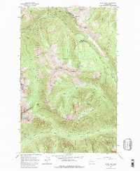
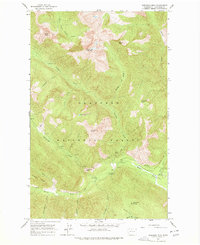
1963 Map of Slate Peak
USGS Topo · Published 1984About this map
Slate Peak and the high ridges of the North Cascades define this 1963 survey, where the boundaries of Mt Baker National Forest and Okanogan National Forest converge. This mountain landscape is marked by a history of high-altitude extraction, evidenced by the Illinois Mine, Goat Mine, and Brown Bear Mine located along steep drainage basins. Transportation across this demanding terrain relies on the Cascade Crest Trail and the West Fork Methow Trail, connecting remote outposts like the Guard Station and the Lookout Tower near the summit of Slate Peak. Seasonal camps such as Deer Park Camp and Horse Heaven Camp illustrate the era's recreational and administrative use of the wilderness, while the headwaters of the Methow River and Middle Fork Pasayten River originate from these glacial divides.
Find a feature on this map
44 named features on this map. Tap any name to fly to it.
Don’t see what you’re looking for? This feature index may not catch every label — zoom into the map to look around manually.
Map Details
Editions of this 1963 Slate Peak Map
4 editions found
Other maps of this area

1920 · Slate Pass
USGS Topo · 1:125,000

1955 · Concrete
USGS Topo · 1:250,000

1958 · Concrete
USGS Topo · 1:250,000

1962 · Concrete
USGS Topo · 1:250,000

1963 · Washington Pass
USGS Topo · 1:24,000

1963 · Azurite Peak
USGS Topo · 1:24,000

1963 · Slate Peak
USGS Topo · 1:24,000
1963 · Mt. Arriva
USGS Topo · 1:24,000

1963 · Silver Star Mtn.
USGS Topo · 1:24,000
1963 · Robinson Mtn.
USGS Topo · 1:24,000