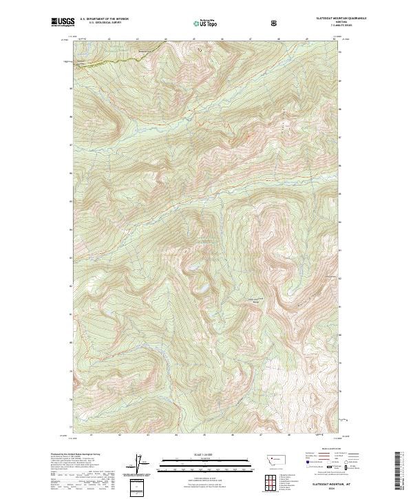
2024 Map of Slategoat Mountain
USGS Topo · Published 2024About this map
The Bob Marshall Wilderness dominates this high-altitude landscape where the Lewis and Clark Range meets the Continental Divide. The terrain is defined by dramatic ridgelines like White Ridge and Moose Ridge, which frame deep drainages such as Grizzly Gulch and the headwaters of the West Fork South Fork Sun River. This area is a significant hydrological crossroads, where the Spotted Bear River flows toward the Flathead basin while other creeks feed the Sun River system.
Find a feature on this map
26 named features on this map. Tap any name to fly to it.
Don’t see what you’re looking for? This feature index may not catch every label — zoom into the map to look around manually.
Map Details
Editions of this 2024 Slategoat Mountain Map
This is the sole edition of this map. No revisions or reprints were ever made.
Other maps of this area

1903 · Saypo
USGS Topo · 1:125,000

1936 · Silvertip
USGS Topo · 1:96,000

1942 · Silvertip
USGS Topo · 1:125,000

1955 · Choteau
USGS Topo · 1:250,000

1957 · Choteau
USGS Topo · 1:250,000

1958 · Choteau
USGS Topo · 1:250,000

1958 · Glenn Creek
USGS Topo · 1:24,000

1958 · Pretty Prairie
USGS Topo · 1:24,000

1958 · Gates Park
USGS Topo · 1:24,000

1962 · Choteau
USGS Topo · 1:250,000