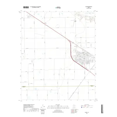
2019 Map of Slaton
USGS Topo · Published 2019About this map
Slaton anchors this South Plains landscape, where the town’s grid is defined by its relationship with the BNSF Railway. The map illustrates a high-plains geography transitioning into the distinct relief of Yellow House Canyon in the northeast corner. This erosional feature breaks the otherwise flat agricultural expanse of the Llano Estacado. To the northwest, the small settlement of Posey sits along the primary rail and highway corridor, serving as a secondary waypoint. Local landmarks such as Englewood Cem and the Slaton Municipal Airport are clearly delineated, reflecting the community’s infrastructure. The southern portion of the sheet marks the transition from Lubbock County across the Lubbock Co and Lynn Co line, showing the strictly organized section-line road network that governs this productive West Texas region.
Find a feature on this map
96 named features on this map. Tap any name to fly to it.
Don’t see what you’re looking for? This feature index may not catch every label — zoom into the map to look around manually.
Map Details
Editions of this 2019 Slaton Map
This is the sole edition of this map. No revisions or reprints were ever made.
Other maps of this area

1954 · Lubbock
USGS Topo · 1:250,000

1957 · Lubbock East
USGS Topo · 1:24,000

1957 · New Home
USGS Topo · 1:62,500

1957 · Lubbock
USGS Topo · 1:62,500

1965 · Acuff
USGS Topo · 1:24,000

1965 · Slaton
USGS Topo · 1:24,000

1965 · Buffalo Springs Lake
USGS Topo · 1:24,000

1965 · Southland
USGS Topo · 1:24,000

1965 · Wilson
USGS Topo · 1:24,000

1965 · Slaton NE
USGS Topo · 1:24,000