Loading...
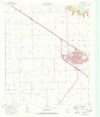
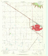
Loading map...1965 Map of Slaton
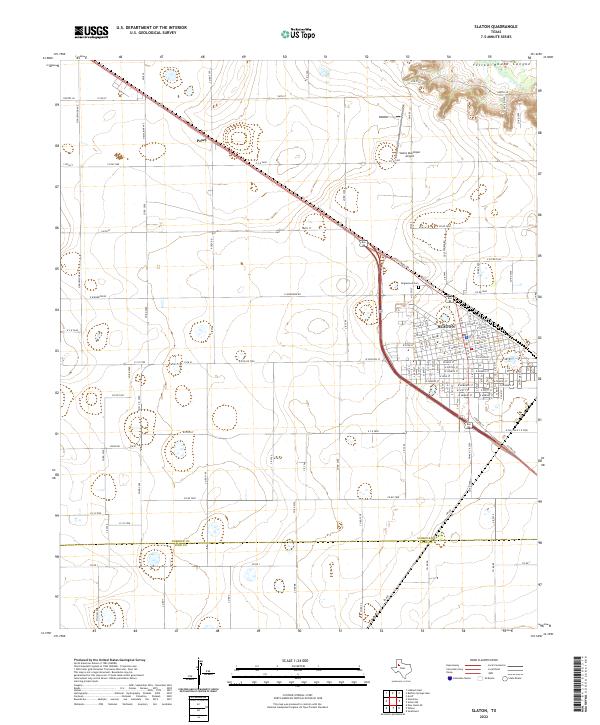
USGS Topo · Published 1977About this map
Slaton serves as the focal point of this mid-1960s survey, illustrating a well-developed grid of streets such as Garza St and Dayton St that supported the local community and the rail economy. The Atchison Topeka and Santa Fe railroad bisects the landscape diagonally, connecting the town to the smaller settlement of Posey to the northwest. This transportation corridor was essential for moving goods through the southern High Plains, particularly for the scattered Quarry sites and agricultural operations visible across the plains.
Find a feature on this map
28 named features on this map. Tap any name to fly to it.
Don’t see what you’re looking for? This feature index may not catch every label — zoom into the map to look around manually.
Map Details
Date Portrayed1965
Date Published1977
PublisherU.S. Geological Survey
Map TypeTopographic
Scale1:24,000
Physical Dimensions23 x 27 inches
Editions of this 1965 Slaton Map
2 editions found
Historical Maps of Slaton Through Time
Featured Locations
Source Details
SourceU.S. Geological Survey
CopyrightPublic Domain