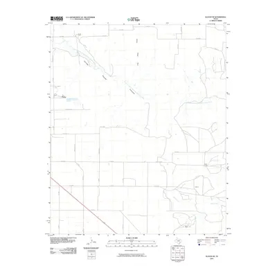
2010 Map of Slaton NE
USGS Topo · Published 2010About this map
North Fork Double Mountain Fork Brazos River carves a significant course across this landscape northeast of Slaton, defining the local geography through the dramatic Yellow House Canyon. This 2010 survey reveals a rural Texas environment where the erratic paths of natural drainage features like Spring Creek and Harvey Creek contrast with the rigid, square grid of agricultural section roads. The map illustrates a region dominated by ranching and large-scale land management, as evidenced by named properties such as Forest Ranch, Wood Ranch, and V Ranch. Transportation in this part of Lubbock County relies on a network of designated county roads and arterial routes like Ranch Rd 2150, which facilitate movement between the canyons and the flatter high plains. Local-history researchers will find interest in the specific placement of these homesteads relative to the Long Hollow and other natural landmarks.
Find a feature on this map
36 named features on this map. Tap any name to fly to it.
Don’t see what you’re looking for? This feature index may not catch every label — zoom into the map to look around manually.
Map Details
Editions of this 2010 Slaton NE Map
This is the sole edition of this map. No revisions or reprints were ever made.
Other maps of this area

1954 · Lubbock
USGS Topo · 1:250,000

1965 · Acuff
USGS Topo · 1:24,000

1965 · Slaton
USGS Topo · 1:24,000

1965 · Buffalo Springs Lake
USGS Topo · 1:24,000

1965 · Southland
USGS Topo · 1:24,000

1965 · Wilson
USGS Topo · 1:24,000

1965 · Slaton NE
USGS Topo · 1:24,000

1966 · Cap Rock
USGS Topo · 1:24,000

1967 · Savage
USGS Topo · 1:24,000

1968 · South Dokegood Creek
USGS Topo · 1:24,000