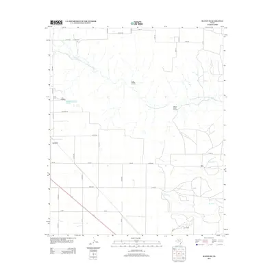
2012 Map of Slaton NE
USGS Topo · Published 2012About this map
The N Fork Double Mountain Fork Brazos River carves a striking path through this section of the High Plains, creating the dramatic geological features of Yellow House Canyon and Long Hollow Canyon. This landscape is defined by its ranching heritage and the grid of rural roads that support it, with several established family operations such as Forest Ranch, Wood Ranch, and the V Ranch situated near the canyons and creeks.
Find a feature on this map
39 named features on this map. Tap any name to fly to it.
Don’t see what you’re looking for? This feature index may not catch every label — zoom into the map to look around manually.
Map Details
Editions of this 2012 Slaton NE Map
This is the sole edition of this map. No revisions or reprints were ever made.
Other maps of this area

1954 · Lubbock
USGS Topo · 1:250,000

1965 · Acuff
USGS Topo · 1:24,000

1965 · Slaton
USGS Topo · 1:24,000

1965 · Buffalo Springs Lake
USGS Topo · 1:24,000

1965 · Southland
USGS Topo · 1:24,000

1965 · Wilson
USGS Topo · 1:24,000

1965 · Slaton NE
USGS Topo · 1:24,000

1966 · Cap Rock
USGS Topo · 1:24,000

1967 · Savage
USGS Topo · 1:24,000

1968 · South Dokegood Creek
USGS Topo · 1:24,000