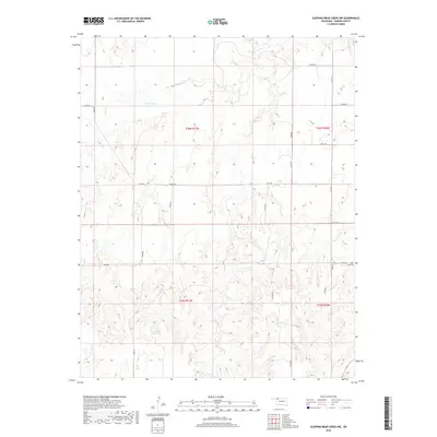
2018 Map of Sleeping Bear Creek NW
USGS Topo · Published 2018About this map
The High Plains of Harper County are defined here by a section-line road grid and the drainage of Sand Cr and Gilbert Cr. In this corner of northwest Oklahoma, the landscape is shaped by agrarian management and ranching, evidenced by the presence of Selman Gp1 Reservoir and Kinney Reservoir. These water sources reflect the mid-century and later efforts to manage the local watershed in a semi-arid region. Family history and local heritage are anchored by the Ferri Cem, located along the eastern edge of the quadrangle. The map documents the persistent rectangular survey system, showing the boundaries between t26n r21w and neighboring townships that organized this territory since its settlement.
Find a feature on this map
27 named features on this map. Tap any name to fly to it.
Don’t see what you’re looking for? This feature index may not catch every label — zoom into the map to look around manually.
Map Details
Editions of this 2018 Sleeping Bear Creek NW Map
This is the sole edition of this map. No revisions or reprints were ever made.
Other maps of this area

1955 · Woodward
USGS Topo · 1:250,000

1958 · Woodward
USGS Topo · 1:250,000

1970 · Buffalo SE
USGS Topo · 1:24,000

1970 · Sleeping Bear Creek SW
USGS Topo · 1:24,000

1970 · Sleeping Bear Creek NW
USGS Topo · 1:24,000

1970 · Sleeping Bear Creek SE
USGS Topo · 1:24,000

1971 · Selman SE
USGS Topo · 1:24,000

1971 · Fort Supply
USGS Topo · 1:24,000

1971 · Selman
USGS Topo · 1:24,000

1971 · Fort Supply NE
USGS Topo · 1:24,000